From June 3-4, 2024, the GCF Task Force co-organized a unique remote sensing workshop with the University of California, Los Angeles, US Forest Service, and Pontificia Universidad Católica del Perú in Lima, Peru to discuss how to improve the science of remote sensing and integrate training needs and forest governance requirements from subnational governments and communities. This workshop built on the successful week-long training session held at UCLA in June 2023 during which academics, data providers, and government technicians came together to discuss how to integrate state-of-the-art remote sensing tools with decision-making needs and realities in GCF Task Force jurisdictions.
The Peru workshop was part of the PANGEA project, which is a scoping project competing for a NASA decadal Terrestrial Ecology campaign in the tropics. Essentially, the GCF Task Force is working to support PANGEA secure approval from NASA for driving ongoing improvements in the remote sensing science, data collection, and application of this science to improve forest governance, territorial planning, command-and-control efforts, fire-fighting, and other critical actions on the ground.
PANGEA’s guiding question is:
How are climate change and land-use change impacting the vulnerability and resilience of tropical forests across time and space?
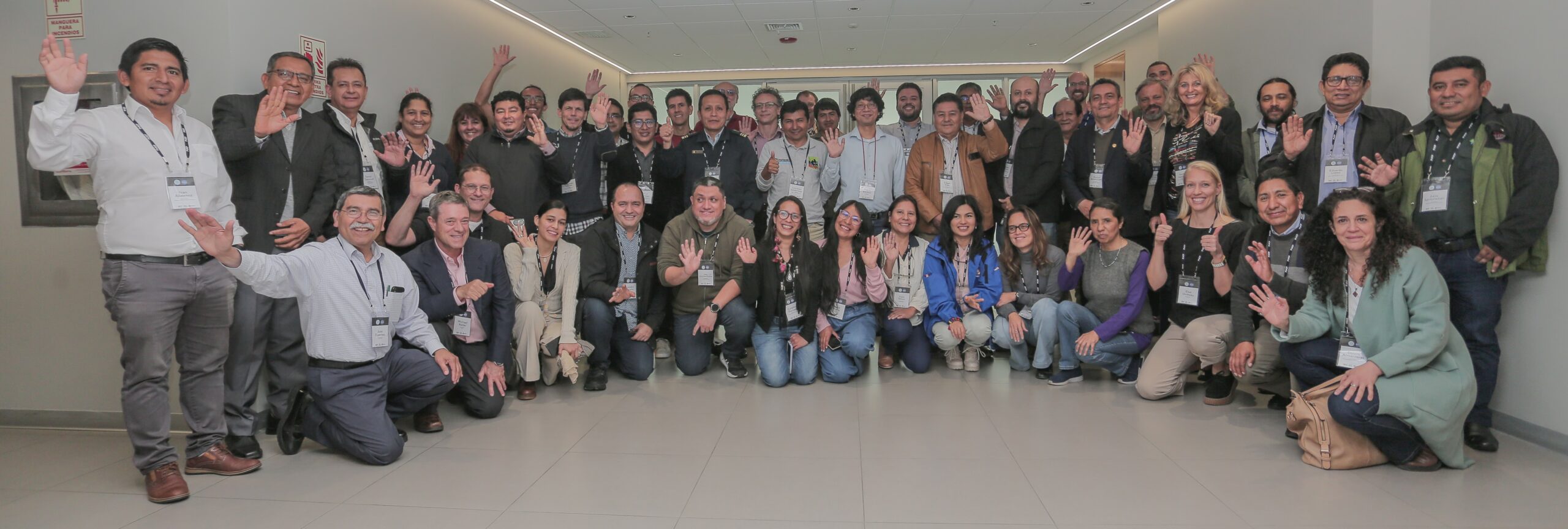
The two-day workshop was part of a series of workshops for the PANGEA project held throughout the tropics. These workshops have featured university and other researchers focused on the science and application of remote sensing efforts, in particular on linking field measurements with NASA airborne and satellite observations and modeling efforts. This was the first workshop in which the GCF Task Force participated. Through support from the Norwegian Agency for Development Cooperation (Norad), the GCF Task Force was able to ensure the active participation of government technicians from member governments in Peru (7 regional governments), Bolivia (Santa Cruz), Colombia (Caquetá), and Ecuador (coordination representation for our three member provinces), in addition to robust engagement by academic researchers from regional universities and research institutions from throughout Peru and across the Amazon.
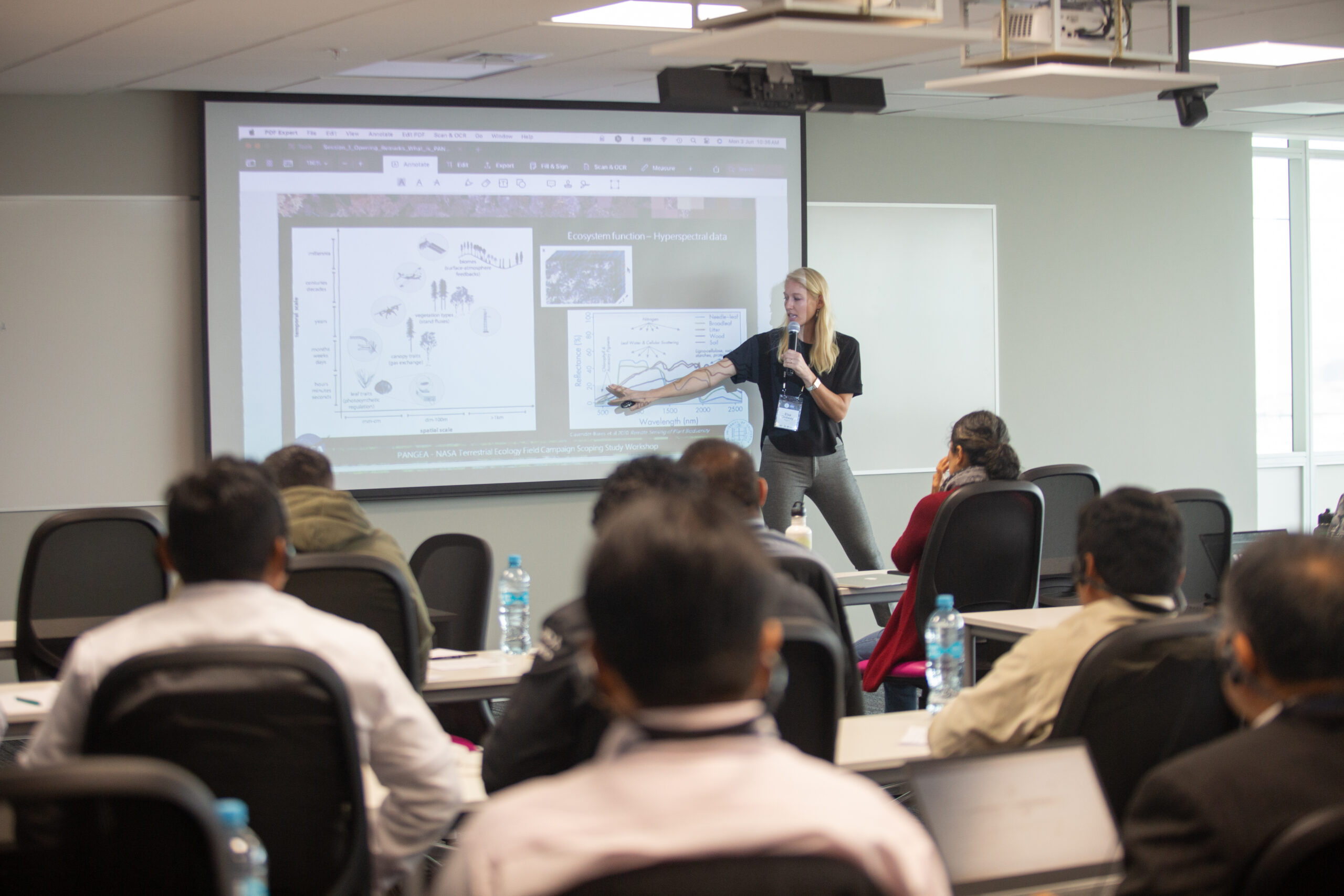
UCLA Prof. Elsa Ordway Presenting on PANGEA
The workshop featured an introduction to the PANGEA project, as well as past NASA decadal campaigns. If NASA selects PANGEA, they will support a 6-9 year field campaign aimed at improving our understanding of the tropics, and this will support efforts by academia, government, and communities to better protect, conserve, and drive sustainable livelihoods across the tropics. Effectively, this would support the development of New Forest Economies, as outlined by the GCF Task Force during last year’s climate convention in Dubai, and a recent Technical Exchange in Santa Cruz, Bolivia.
In addition to presentations on the state-of-the-science by academics, organizers from UCLA and the US Forest Service, and research organizations such as CIFOR-ICRAF and the Lawrence Berkeley National Laboratory, the two-day workshop also featured breakout sessions to dig into the challenging questions around how do decisionmakers use remote sensing data, how can it best serve their governance needs, and how can we better integrate academic research and governance decisions.
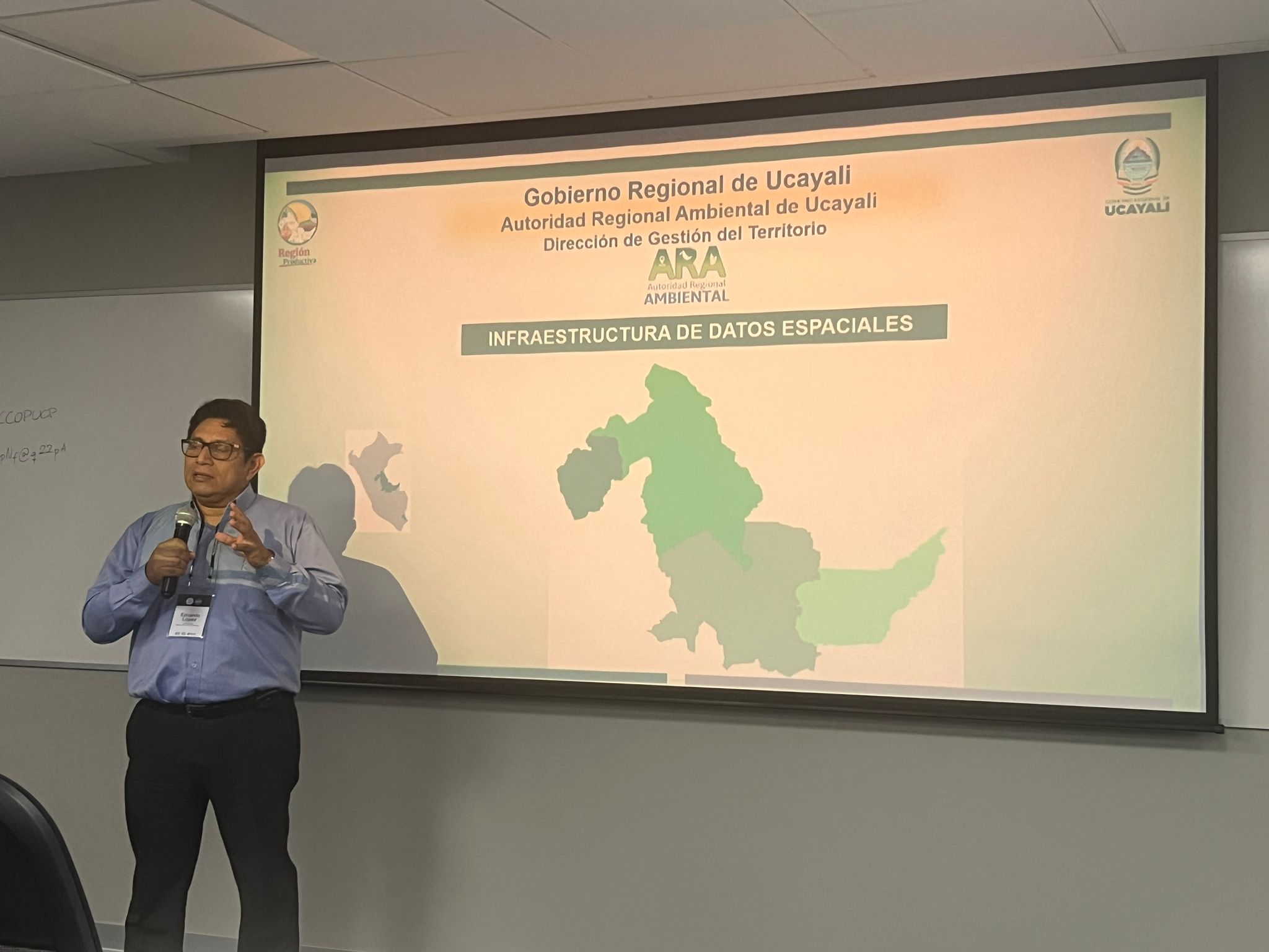
Edinson Lopez of the Regional Government of Ucayali
Key takeaways
- Improving the science through a NASA-supported program will greatly benefit the tropics and the application of the science into decision-making by governments and communities.
- Local government and community engagement in these types of scientific campaigns is critical.
- Better integration between regional universities and regional governments is also critical. Universities can leverage much of the policy and technical “gray reports” to further their scientific work, and vice-versa.
- The best data is only as good as its use and application. Science can best advance if the “end-user” of the data finds it helpful.
- All participants are excited to support the PANGEA application process and to continuing to partner in the creation of this important effort.
Next steps following the workshop
The GCF Task Force will be working with UCLA, the US Forest Service, and other participants to develop support letters for the PANGEA application. These letters will help jurisdictions and other workshop participants document (1) how they are already utilizing remote sensing data and products in their day-to-day work, (2) how PANGEA can help fill gaps, and (3) what level of support they can contribute to the project.
Acknowledgements
We would like to thank our hosts Pontificia Universidad Católica del Perú and all of our incredible participants! CIFOR-ICRAF Sylvera MapBiomass Alliance Biodiversity & CIAT SERVIR-Amazonia Max Planck Institute Wyss Academy for Nature Lawrence Berkeley National Laboratory Penn State University Nature and Culture International Universidad Nacional Amazónica de Madre de Dios
Universidad Nacional de Colombia University of Oklahoma AmIT Institute and many more from across academia in Peru and the Amazon.