Android-based Forest Information System in Central Kalimantan
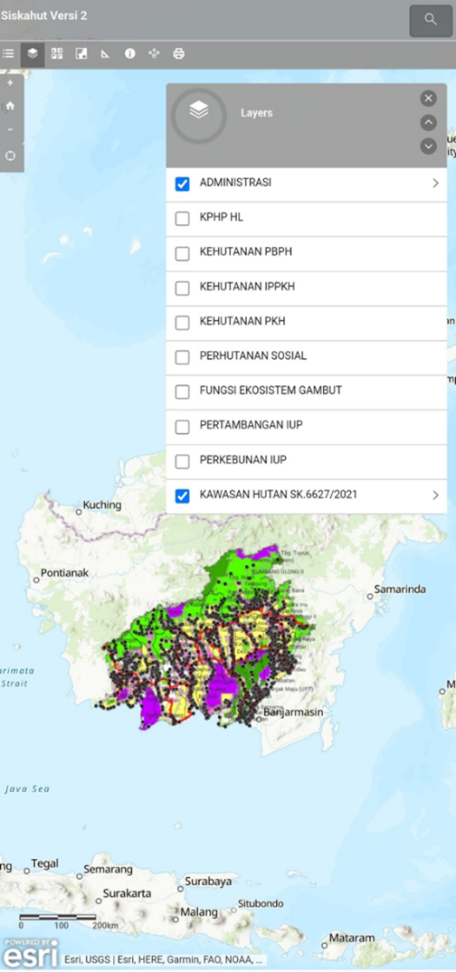
Following on the recent post regarding North Kalimantan’s new WebGIS, another innovation in forest information systems in Indonesia came from Central Kalimantan, where the province’s Forestry Office recently launched an android-based Forest Area Information System called Siskahut Kalteng.
This innovative mobile application is designed to provide easy access to essential information about the region’s forests to the public. With a user-friendly interface, Siskahut Kalteng offers real-time updates and comprehensive data on Central Kalimantan’s Forest Areas, including information on forest management such as Protected Forest Management Units (PBPH), Sustainable Production Forest Management Units (PPPKH), Social Forestry, and Forest Management Units.
The application, accessible on the Google Play Store, aims to enhance transparency and promote community engagement in forest management. The GPS setting in the application allows individuals to check the official status of land they are standing in, such as its function and concession type (if any).
Mr. Tan Rachman, an officer from the Forestry Agency who attended the GCF Task Force Remote Sensing Workshop at UCLA early this month, stated that he expects to further improve the system, incorporating information he obtained from the workshop.


